What’s Happening
Quick links


In focus
Saving 17 on the VVP
Over three years, this project will establish a sustainable seed source for 17 of the most threatened grassland plants on the Victorian Volcanic Plains and establish 39 new threatened plant populations.
The establishment of the Seed Production Area (SPA) will reduce the need for wild seed collection in the future, reducing the burden on small and vulnerable plant populations.
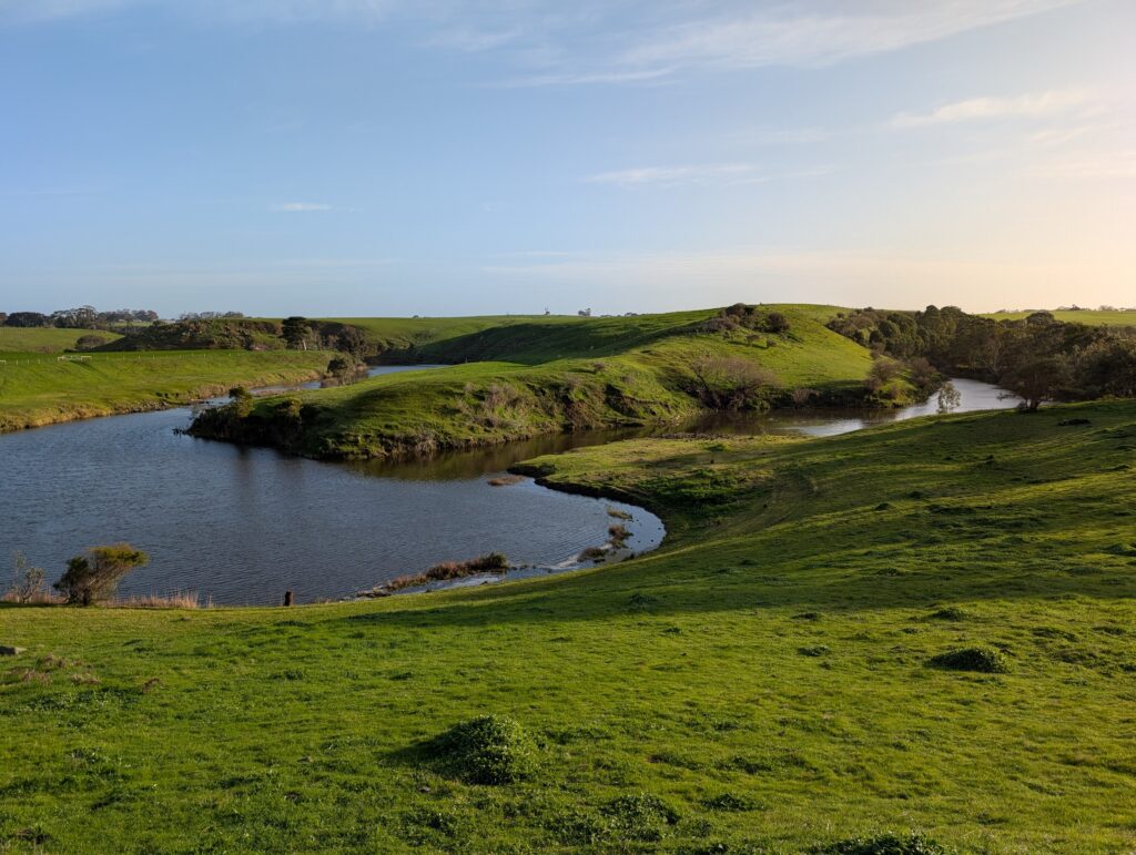
Lower Mount Emu Creek flood investigation 2025-2027
Lower Mount Emu Creek will be the focus of the Glenelg Hopkins CMA’s work through the Victorian Government’s Flood Reclamation Roadmap (Fast Tracking Flood Studies in Regional Victoria) in 2025-2027.
The focus will be on the 1870 square km area of the Lower Mt Emu Creek, and covers the Mt Emu Creek floodplain across 4 council areas (Moyne, Ararat, Pyrenees and Corangamite).
This will be the biggest flood investigations we’ve ever done for the region in terms of the size of the area to be modelled.
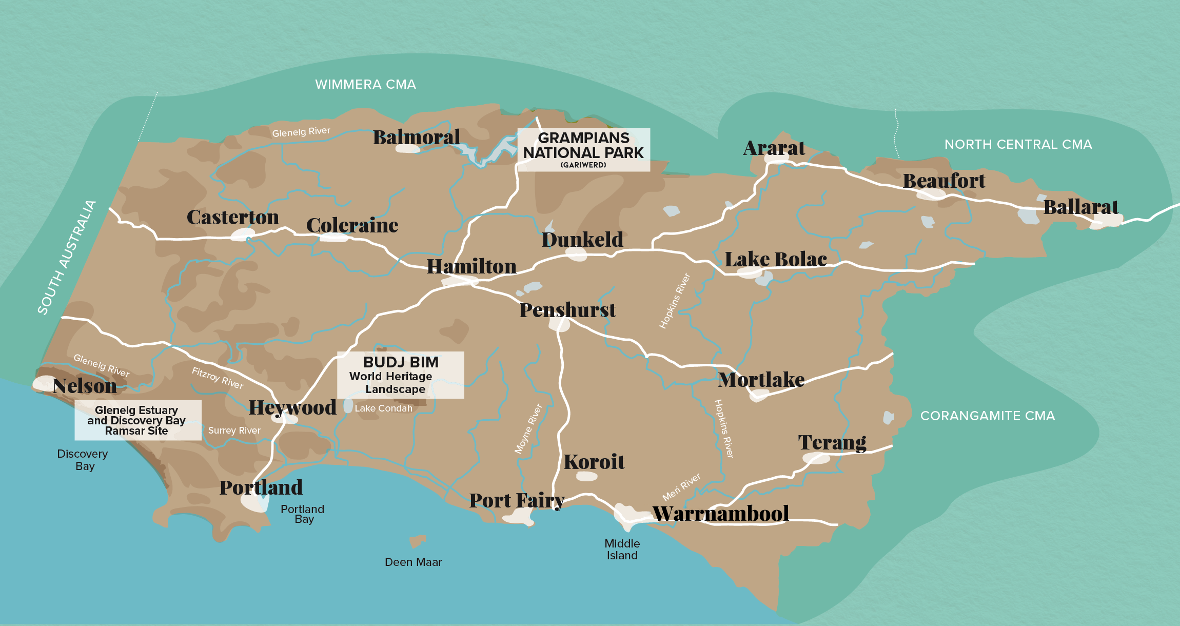
Our Region