Marine & coast
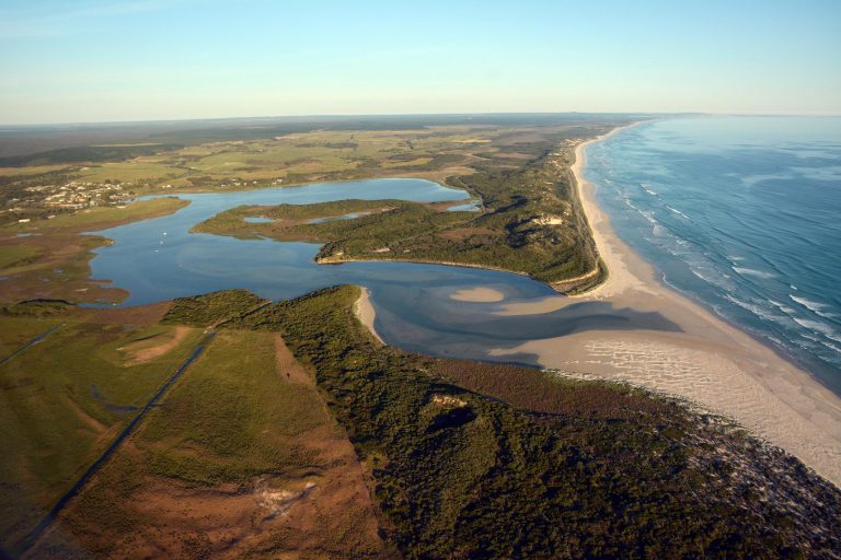
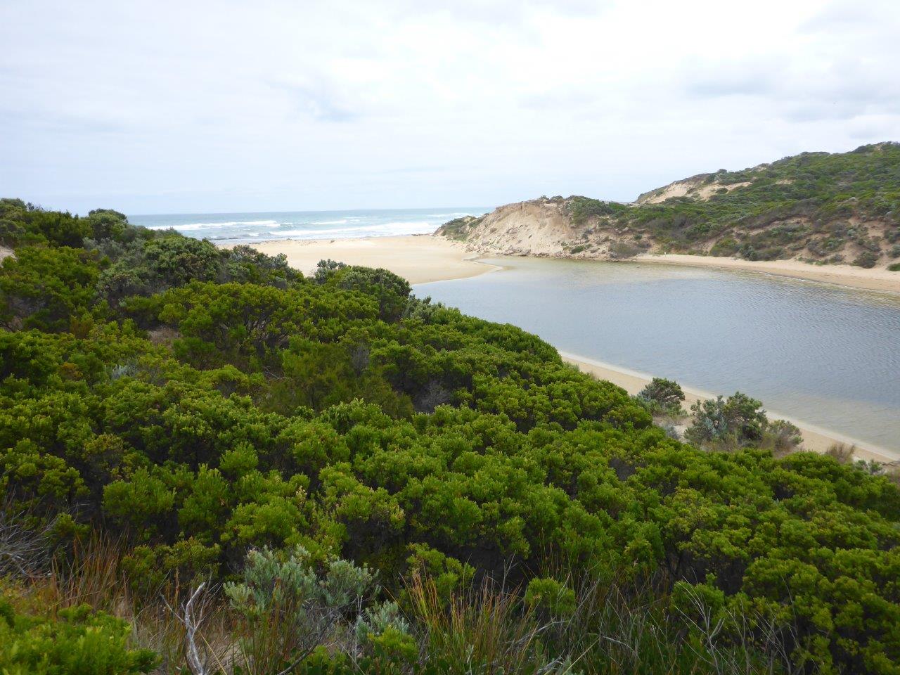
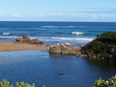
The Glenelg Hopkins region is characterised by its dramatic coastline, with towering cliffs and extensive dune systems carved out by changing sea levels, volcanic activity, and wind and water erosion.
The marine and coastal environment of the Glenelg Hopkins region extends 220 km from South Australia east to just before the Bay of Islands. The marine environment extends out three nautical miles (5.6 km) to the state waters limit and covers about 142,360 ha.
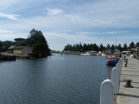
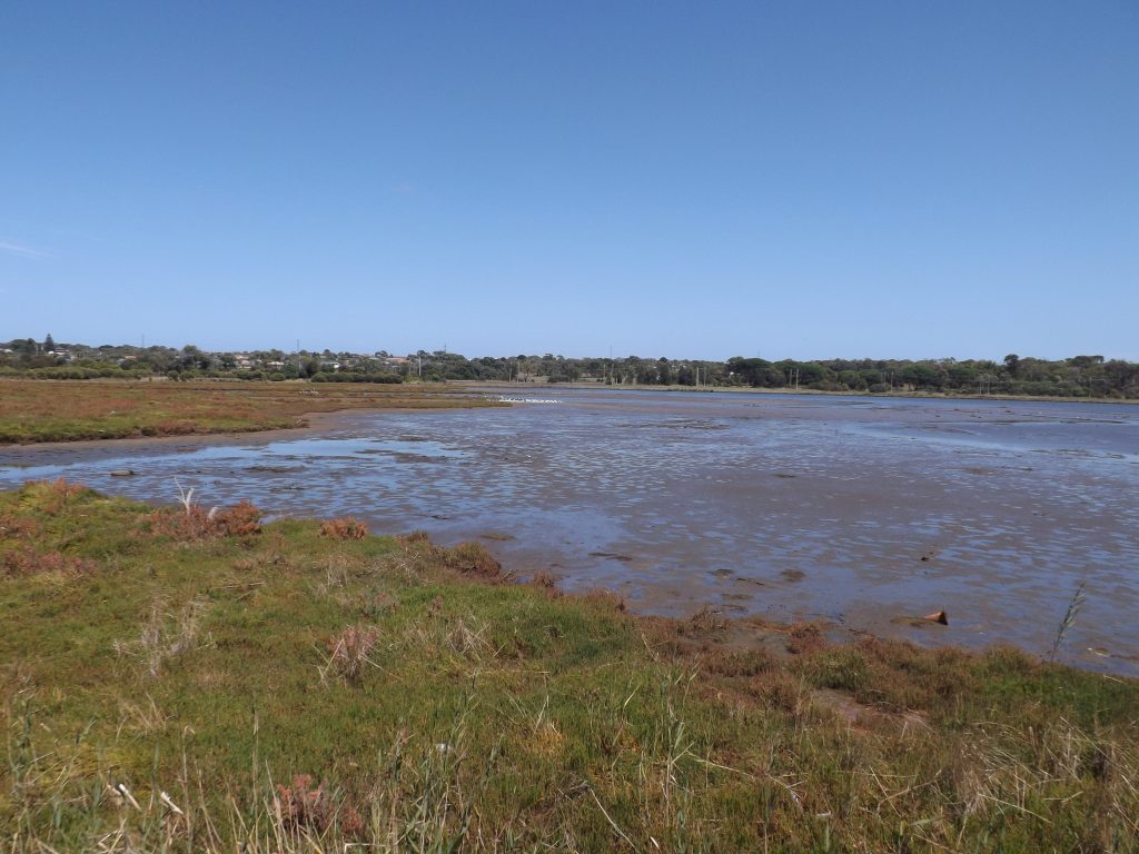
The coastal environment considers all land five kilometres inland from the high water mark, or further to encompass the long estuaries such as Glenelg, Surry and Lake Yambuk.
See our Marine & Coastal projects
GHCMA RCS WEBSITE (links to website)
Read more about our Marine & coast management plan in the 2021-2027 Regional Catchment Strategy
Our Estuaries
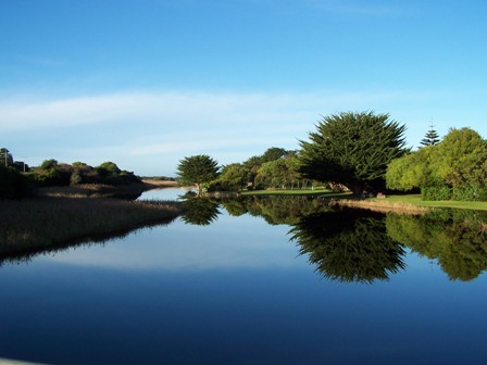
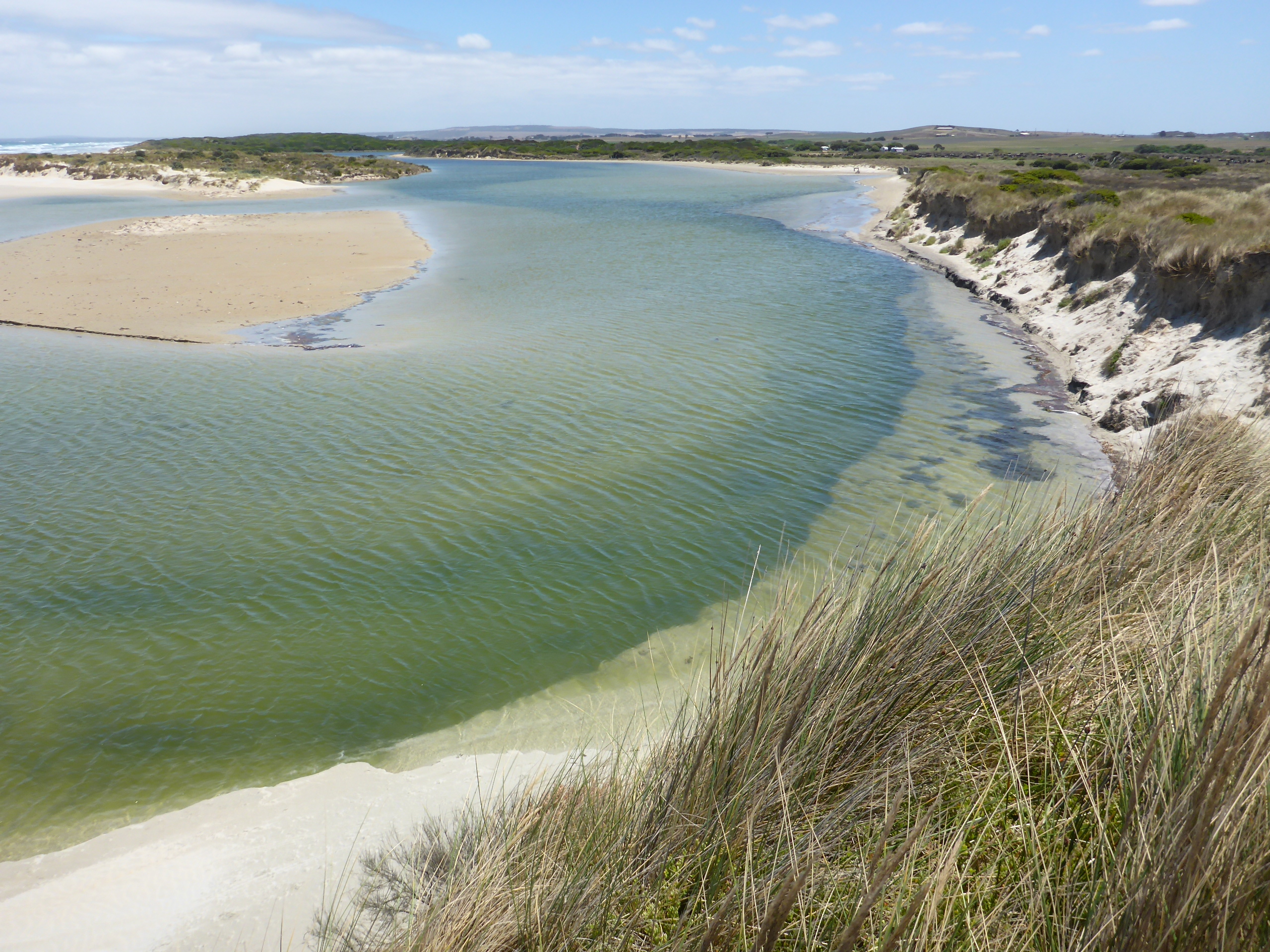
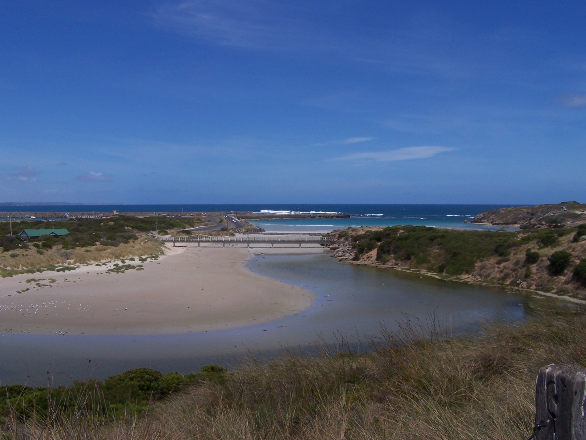
There are eight major estuaries in the Glenelg Hopkins region: The Hopkins, Merri, Moyne, Yambuk, Fitzroy, Surry and Glenelg estuaries and Fawthrop Lagoon. Most of these estuaries close from time to time following the formation of a sand bar at the estuary mouth.
